- Date application duly made
- 8 June 2020
- Applicant name
- Strensall with Towthorpe Parish Council
- Applicant address
-
The Village Hall
Northfields
Strensall
York
YO32 5XW - Relevant Definitive Map
- North Riding of Yorkshire
- Parish
- Strensall with Towthorpe
- Nearby village and city
- Strensall, York
- Location details
- Towthorpe Bridge to Haxby Moor. Land lying to the east of the River Foss
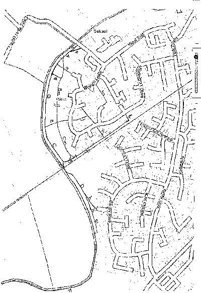
- Location map
-
- Post codes of properties affected by application
-
- YO32 5XE
- YO32 5RU
- YO32 5RT
- YO32 5RX
- YO32 5TQ
- YO32 5RZ
- YO32 5RY
- YO32 5RH
- YO32 5RW
- YO32 5YH
- Y032 5YQ
- YO32 5RY
- YO32 5UP
- YO32 5YJ
- YO32 5RS
- YO32 9SP
- YO32 5AP
- YO32 5AQ
- YO32 5AR
- YO32 5AA
- YO32 5AG
- Intended effect
- Add footpath
- Grid reference start
- SE 6211 5913
- Grid reference end
- SE 6263 6056
- File status
- In progress
- Date determined by City of York Council
- 15 May 2021
- Determination
- Order made
- Additional notes
-
One of the 15 routes applied for has been rejected because no evidence was adduced. Objections received, to be sent to the Secretary of State for a final decision.
- Officer contact details
-
Rights of Way Officer
Email: rightsofway@york.gov.uk
Telephone: 01904 551550
Comment on this page